Projects
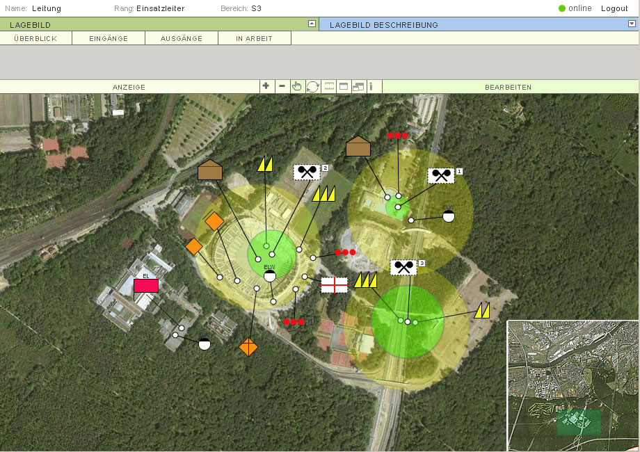
Map display (aerial photo) depicting the action forces, hazards and persons involved
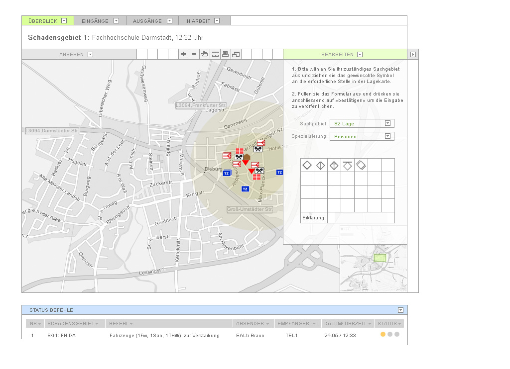
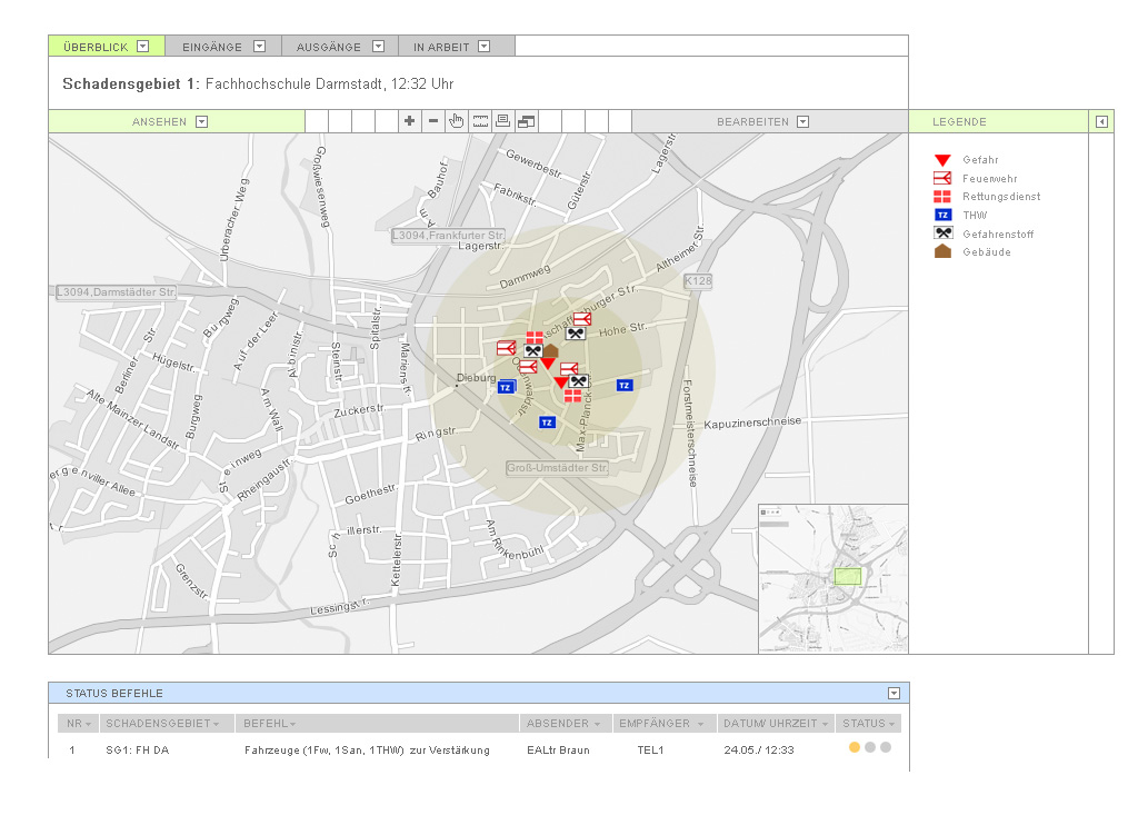
Map display with legend. Command status is displayed at the bottom
Inserting a new object on the map
DIMA
University Project: Action force support in the case of a major emergency
The quicker action forces receive valuable information, the faster vital relief measures can be initiated. Existing systems, e.g. used by the fire brigade, operate in the analogue world. Furthermore, control centres of the different forces present more often than not lack sufficient means of intra-communication and networking.
DIMA tackles this problem head-on: Connected though networked devices suitable for them, action forces can transmit situational information to the control centre in real time. This data is displayed on a big GIS map display; an integrated command management system transmits and manages commands directed at the forces in the field.
Team
Meike Drexler, Frederik Lölhöffel, Metti Müller, Patrick Röder, Michael Schubert, Julia Seidel, Katharina Tran Phuc
My contribution
Project Management, Application Server Programming (Java)